


1 / 5
Image 1 of 5


1 / 5
Image 1 of 5
View all items from Designer Accessories, Collectibles, Art & More sale
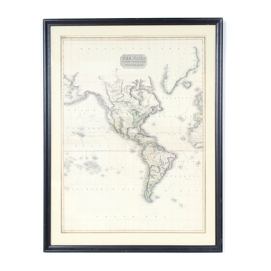
Engraved Map "The World on Mercators Projection: Western Part"
Item Details
An 1814 engraved map The World on Mercator’s Projection: Western Part published in Pinkerton’s Modern Atlas. The map shows North and South America along with the islands in the central Pacific and the west coast of Africa. It also shows the routes of explorers including Cook and Vancouver.
| Medium on Ground | Hand-colored engraving on paper |
| Artist (Nationality, Lifespan) | John Pinkerton (England, 1758-1826) |
| Title | The World on Mercators Projection: Western Part, 1814 |
| Portfolio and/or Book | Pinkerton’s Modern Atlas |
| Publisher | Published by Cadell & Davies, Strand |
| Map Type | Physical Map |
| Inscriptions – Front and/or Verso | Some pencil notations in the South Sea area |
| Presentation | With a beige mat under glass in a black frame |
| Additional Information | This map shows many of the routes taken by explorers including Cook, Vancouver and de la Parouse. |
Condition
- not examined out of frame
- minor stains to the map
Dimensions
25.0" W x 32.75" H x 1.0" D
Item #
18COL187-174


