


1 / 11
Image 1 of 11


1 / 11
Image 1 of 11
View all items from Antiques, Collectibles, Home Furnishings & More sale
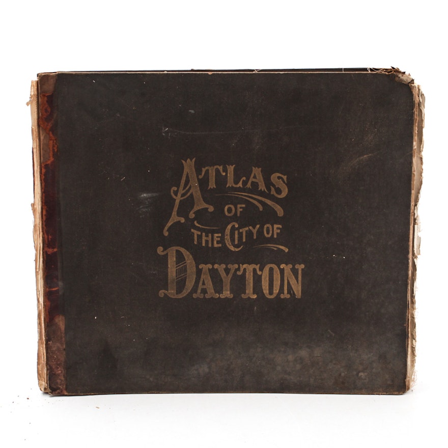
1907 "Atlas of The City of Dayton, Ohio and Adjoining Territory"
Item Details
A 1907 Atlas of the City of Dayton, Ohio and Adjoining Territory. The atlas contains a large city map and two page folded maps of regions of the city.
| Medium on Ground | Lithograph on Paper |
| Signature | Not Signed |
| Map Type | City Map |
| Presentation | Bound in Atlas |
Condition
- fair to poor condition
- full city map is torn along folds
- water staining along the lower edge of all maps
- all detailed maps are glued onto heavy canvas (as made)
Dimensions
18.0" W x 15.25" H x 1.0" D
- volume
Item #
18COL167-149


