


1 / 5
Image 1 of 5


1 / 5
Image 1 of 5
View all items from Art & More sale
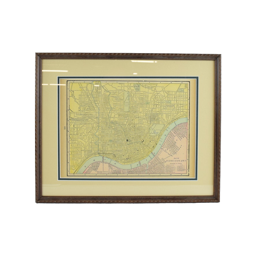
Original 1895 Map of Cincinnati
Item Details
An original 1895 map of the city of Cincinnati. This engraving is from C.A Gaskell Atlas of the World, published by John F. Waite Publishing in Chicago. The map depicts the city of Cincinnati, with the Ohio River running through it, with several prominent buildings and hotels labeled. The map is presented matted and framed, with a wire for hanging.
| Map Type | City Map |
Condition
good
Dimensions
18.25" W x 14.5" H x 0.5" D
frame size
image size: 13″ × 9.50″
Item #
18LEX099-009


