


Assortment of 20th Century Maritime Maps
Item Details
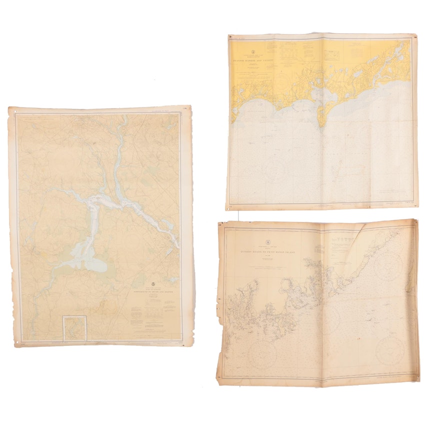
An assortment of maritime maps. Featured is a map of Portsmouth to Dover and Exeter published by U.S. Dept. of Commerce National Oceanic & Atmospheric Admin., 1st ed Feb.1960, 6th ed. April 1978. Included is a map of the Hyannis Harbor & Vicinity published by U.S. Dept. of Commerce National Oceanic & Atmospheric Administration, 1st ed. Nov 1942, 6th ed. May 1972. Lastly is a map of Quddy Roads to Petit Manan Island published by U.S. Coast & Geodetic Survey, issued April 1921, reissued Sept 1929. All works are unmounted and unframed.
| Map Type | Nautical Map |
Condition
- to fair; discoloration; staining; creasing; wear and tears to edges and corners; have been tightly rolled.
Dimensions
- measures largest map “Portsmouth to Dover and Exeter.”
- item will arrive rolled in a shipping tube.
Item #
18BOS133-061


