


1 / 12
Image 1 of 12


1 / 12
Image 1 of 12
View all items from Designer Accessories, Collectibles, Décor & More sale
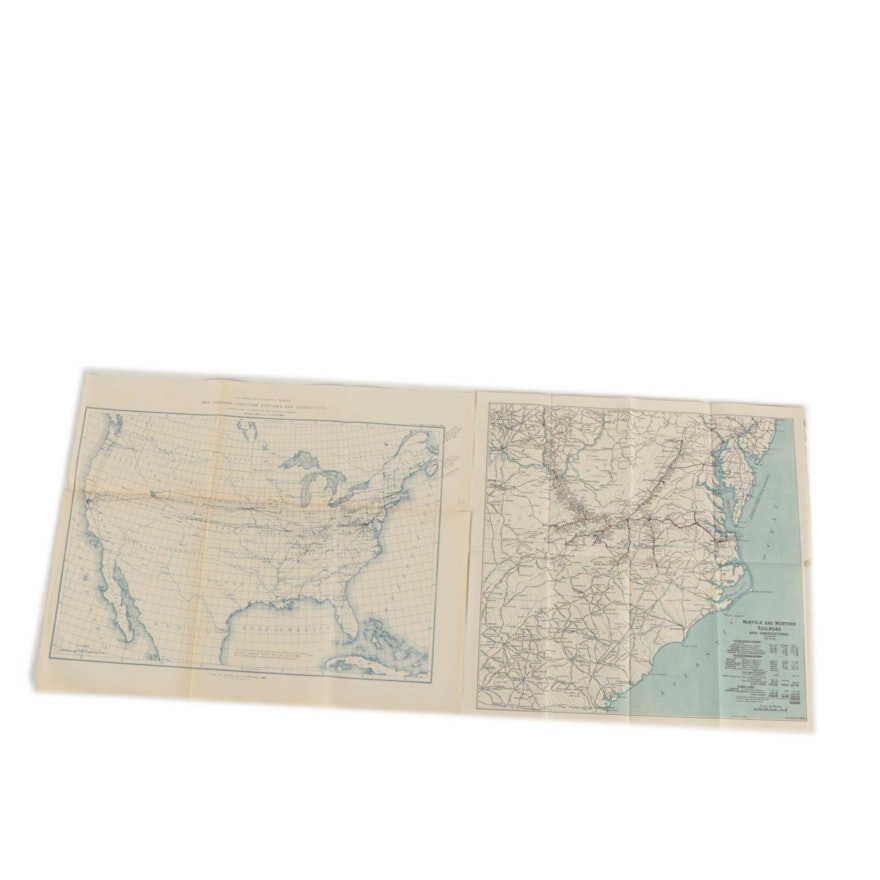
1890s Norfolk and Western Railroad and U.S. Geodetic Survey Lithograph Maps
Item Details
A pair of late 19th-century lithograph maps on paper. Featured is an 1893 map titled Norfolk and Western Railroad and Connections, printed by Century Lithography Company of Philadelphia. Also included is a map titled U.S. Coast and Geodetic Survey Map Showing Longitude Stations and Connections, created in 1890 by the Coast and Geodetic Survey Office. Both are presented unframed.
| Map Type | Other |
Condition
- toning, discoloration, edge wear and crease marks to prints; hole to smaller map at left center; items are loose and unframed.
Dimensions
22.0" W x 17.75" H x 0.1" D
- measures largest map; visible image measures 20.25" W x 14.25" H.
Item #
18DCC154-018


