


1 / 5
Image 1 of 5


1 / 5
Image 1 of 5
View all items from Collectibles, Entertainment, Décor & More sale
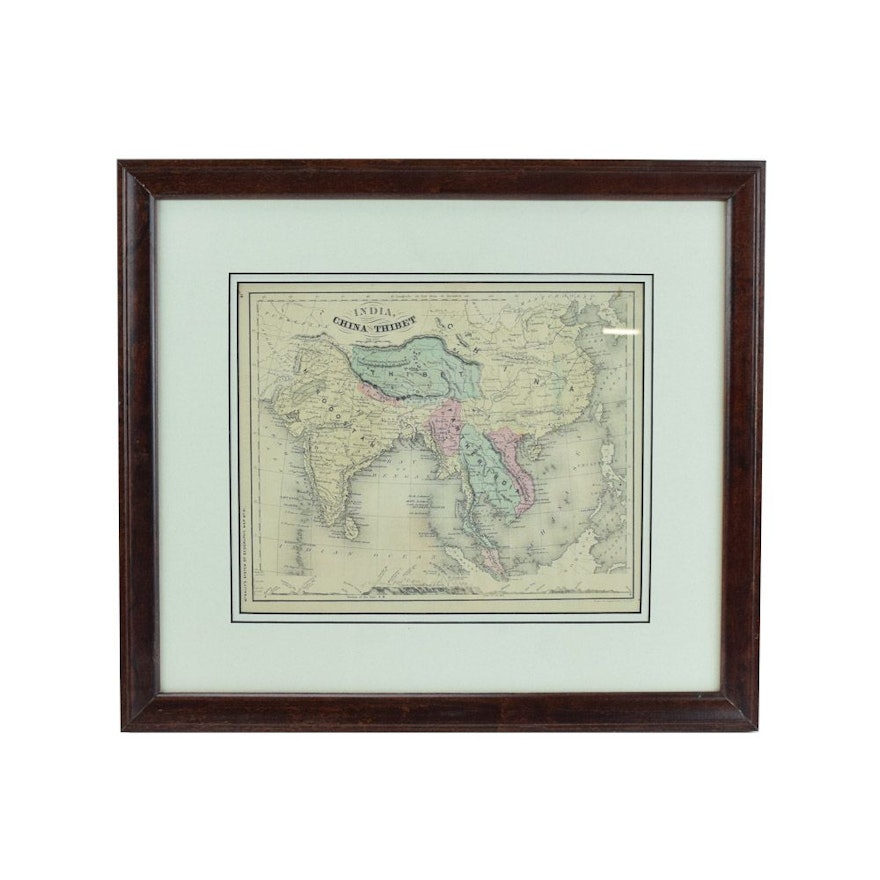
Original 1868 Framed Map of India, China and Tibet
Item Details
A circa 1868 map of India, China, & Thibet published by McNally. This antique engraved map depicts the geographical features and political borders of India, China, and Tibet as they appeared in the mid 19th century. The print is presented under glass with layered mats in a stained wood frame. There is a hanging wire mounted to the verso.
Condition
some discoloring
Dimensions
17.75" W x 15.75" H x 1.0" D
image size – 11″ × 9″
Item #
18LEX051-107


