


1 / 4
Image 1 of 4


1 / 4
Image 1 of 4
View all items from Collectibles, Entertainment, Décor & More sale
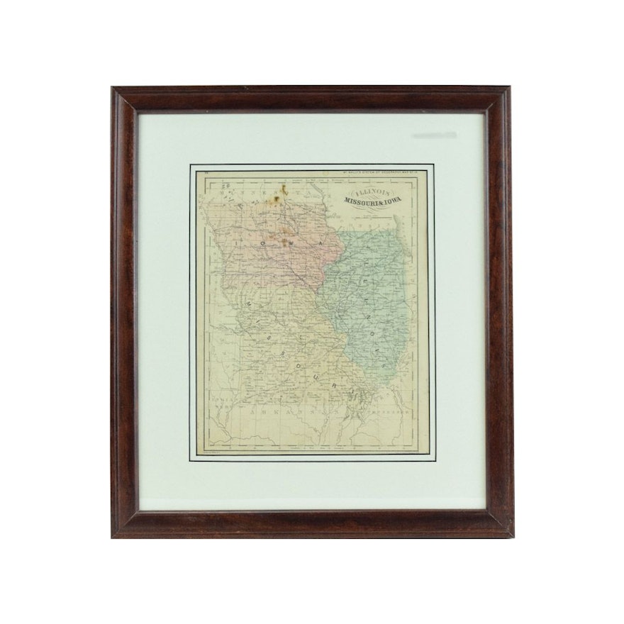
Original 1862 McNally Map of Illinois, Missouri and Iowa
Item Details
An antique engraved map of Illinois, Missouri & Iowa by McNally. This circa 1865 hand colored map depicts the tri-state area with roads, cities, political borders, and geographic features. The print is presented under glass with layered white mats in a stained wood frame. There is a hanging wire mounted to the verso.
Condition
- to fair; some discoloring.
Dimensions
15.75" W x 17.75" H x 1.0" D
- image size – 9″ × 11″.
Item #
18LEX051-106


