


(PRIO)Hand-Colored Engraving After Willem Janszoon Blaeu's Map of Liguria, Italy
Item Details
Unsigned
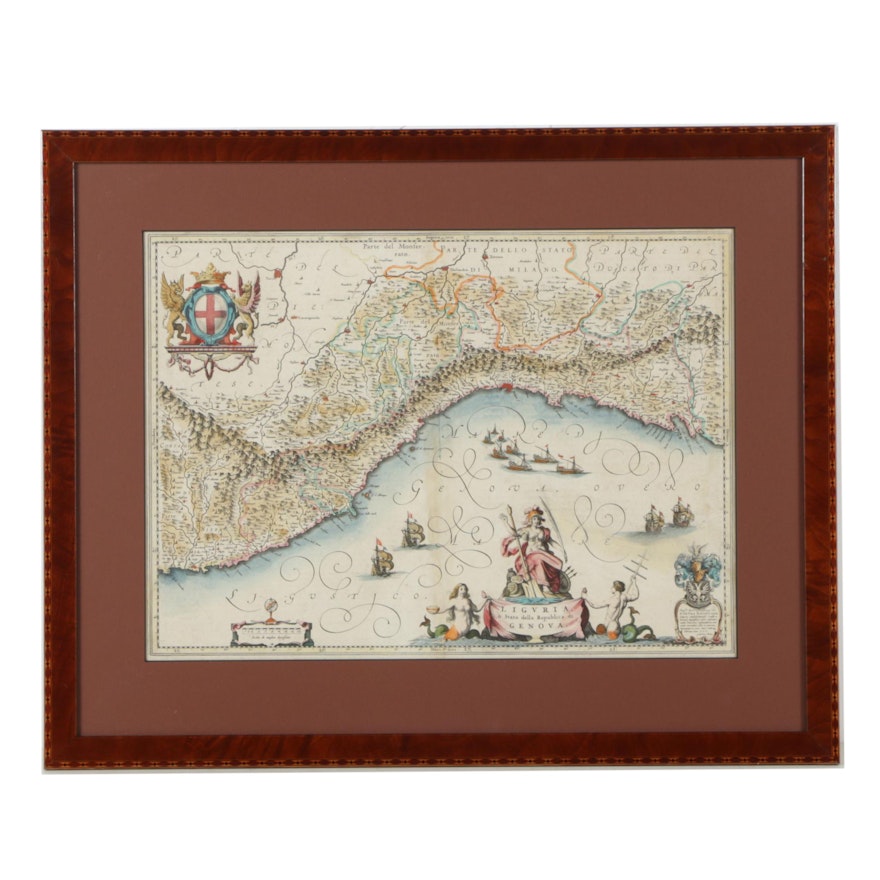
A hand-colored engraving on paper titled _Liguria, ò Stato della Republica di Genova _ after a map by Dutch Golden Age cartographer Willem Janszoon Blaeu (1571-1638). This elaborate map depicts the Liguria region of Italy stretching from Nice to Genova, around the Gulf of Genova. The coat of arms of the Republic of Genova is printed to the upper left with multiple illustrated cartouches to the lower edge including scale, title, and dedications. The print is presented behind a red mat and glass in a cherry-stained wood frame with wire to the verso for hanging.
Condition
- image paper is discolored; crease line running vertically up the middle of the image area; nicks and scratches around the frame.
Dimensions
- measures frame; visible image measures 21.0" W x 15.0" H.
Item #
18BAL026-312


