


1 / 5
Image 1 of 5


1 / 5
Image 1 of 5
View all items from Art, Rugs, Décor & More sale
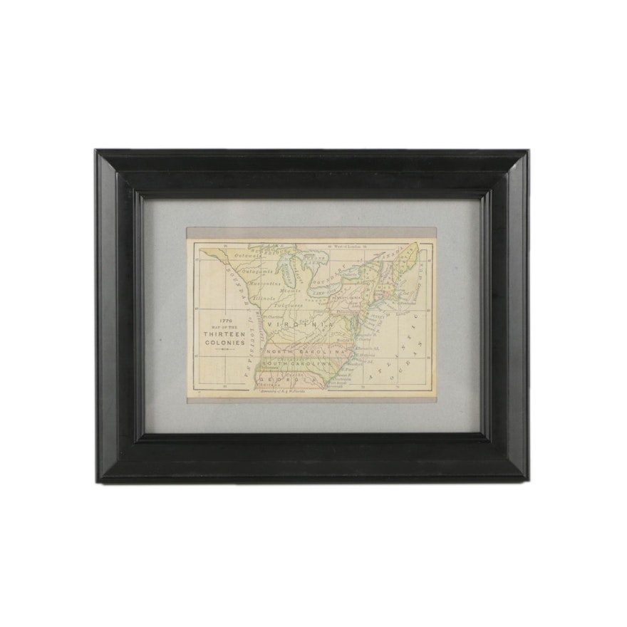
Circa 1880 Printing of "1776 Map of the Thirteen Colonies"
Item Details
A circa 1880 atlas map titled 1776 Map of the Thirteen Colonies. This engraved map with printed color layers recreates the political borders of the original 18th century British colonies, as well as cartographic errors unique to the era. An obvious example of this is the misshapen peninsula of modern day Michigan. This antique map is presented under glass with a light grey mat in a black wood frame. There is a hanging bracket mounted to the verso.
| Map Type | Physical Map |
Condition
- discoloration to paper; minor wear to frame.
Dimensions
8.5" W x 6.5" H x 0.75" D
- measures frame; image measures 4.75" W x 3.0" H.
Item #
18LEX017-097


