


1 / 15
Image 1 of 15


1 / 15
Image 1 of 15
View all items from Dover Train and Railroad Memorabilia sale
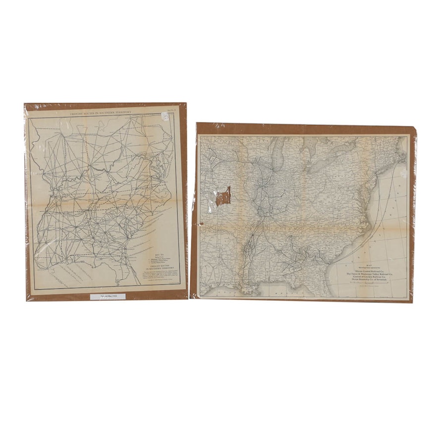
Woodcut Maps "Freight Routes in Southern Territory"
Item Details
A pair of woodcut maps on paper titled Freight Routes in Southern Territory and Illinois Central Railroad Co., both dated 1924. The railroad maps depict routes of where Southern Ohio meets Northern Kentucky and the railroad companies that operate in Tennessee and the Carolinas. A map key and informational inscriptions are featured to the lower right of each map. These prints are presented on corrugated board backing and wrapped in acetate.
| Map Type | Railroad Map |
Condition
- toning and some foxing to prints; both contain multiple folded creases; the Illinois Railroat Co contains two tears to the left edge of the composition.
Dimensions
18.75" W x 22.75" H x 0.25" D
- Each backing approximately measures; each print approximately measures 17.75" W x 21" H.
Item #
18DCC126-073


