


1 / 18
Image 1 of 18


1 / 18
Image 1 of 18
View all items from Art, Collectibles, Décor & More sale
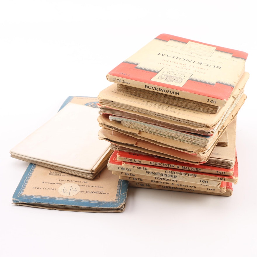
Vintage Maps of Great Britain and Beyond
Item Details
A collection of twenty maps of Great Britain and beyond, dating to the middle of the 20th century. This lot contains Ordnance Survey maps showing areas of England including Okehampton, Torquay, and Gloucester in the southwest, and Chichester, Hastings, and Buckingham in the southeast, as well as maps of Pembroke and Carmarthen, Wales, and more. Also included are two maps of the Survey of India, and a map of northwestern Europe, primarily around Belgium.
Condition
- edge wear to paper from use; spotting, smudging, and marks to India maps.
Dimensions
5.0" W x 8.0" H x 0.25" D
- measured “Buckingham Map”.
Item #
18BAL001-073


