


1 / 10
Image 1 of 10


1 / 10
Image 1 of 10
View all items from Sterling Silver, Art, Jewelry & More sale
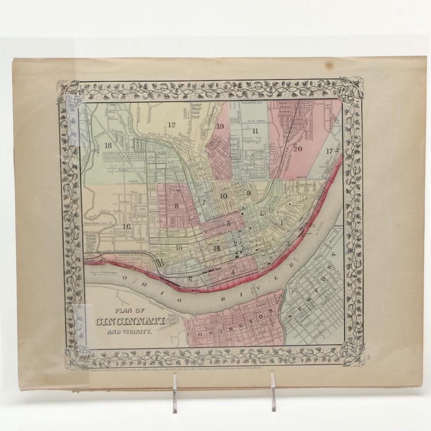
S. Augustus Mitchell Jr. 1870s Lithograph Map "Plan of Cincinnati and Vicinity"
Item Details
none
A circa 1870s lithograph map of Cincinnati by American geographer S. Augustus Mitchell, Jr. The map is titled Plan of Cincinnati and Vicinity and includes applied color accents in pale pink, blue, green and yellow to denote district boundaries. The map features a decorative foliate border and includes fine print to the lower margin of ‘Entered according to Act of Congress in the year 1870 by S. Augustus Mitchell Jr’. It is presented unframed.
Condition
- to Fair; foxing and toning to paper; edge wear with small tears present; map is unframed.
Dimensions
15.25" W x 12.25" H x 0.25" D
Item #
17DCC126-031


