


1 / 28
Image 1 of 28


1 / 28
Image 1 of 28
View all items from Art, Fashion, Décor & More sale
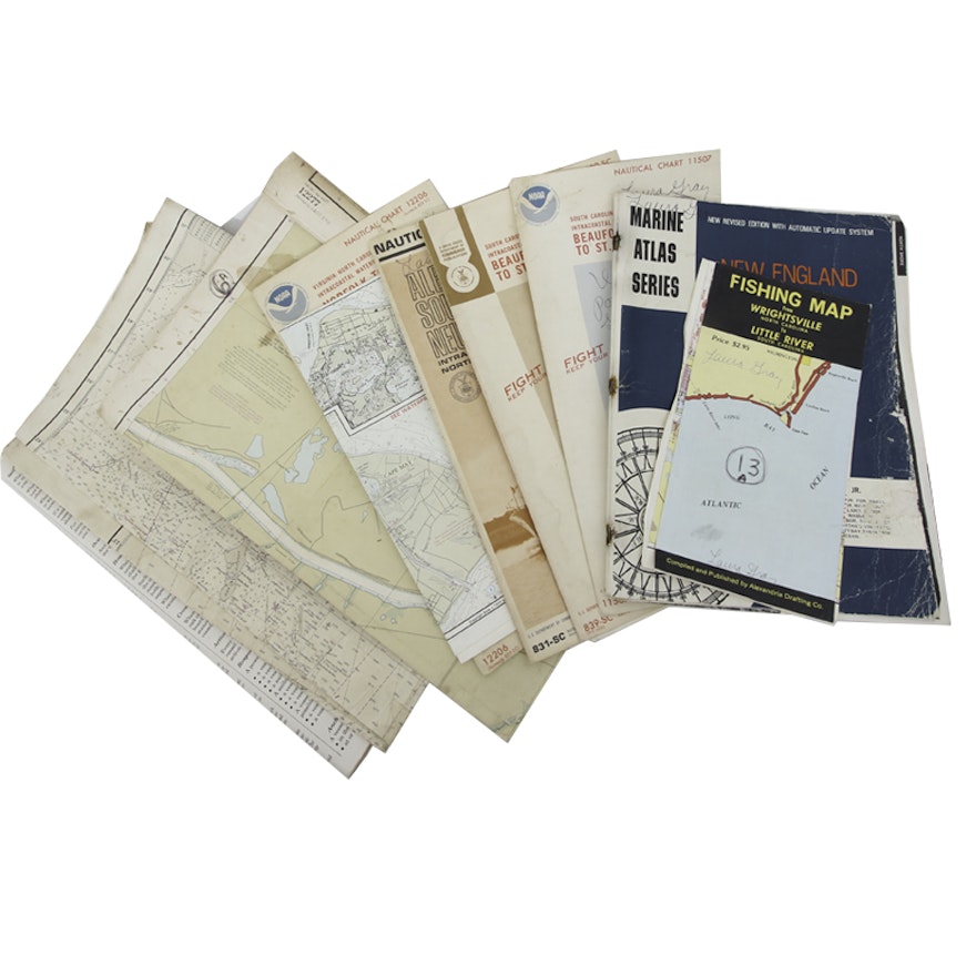
Collection of Vintage Nautical Maps
Item Details
A collection of vintage nautical maps. This collection includes a 1978 nautical chart for the Virginia to North Caroline intracoastal waterway, a 1993 waterproof chart for Cape May to Sandy Hook, a 1981 fishing map from Wrightsville, North Carolina to Little River, South Carolina, a 1971 nautical chart of Albemarle Sound to Neuse River, a 1971 nautical chart for the South Carolina to Georgia intracoastal waterway, a 1978 nautical chart for South Carolina to Georgia intracoastal waterway, a 1977 nautical chart for the Chesapeake and Delaware Canal, and more. There are nine maps in total.
Condition
- creased throughout maps. wear consistent with age and use.
Dimensions
18.25" W x 13.0" H x 2.0" D
stacked.
Item #
17LAX197-063


