


1 / 10
Image 1 of 10


1 / 10
Image 1 of 10
View all items from Art, Collectibles, Décor & More sale
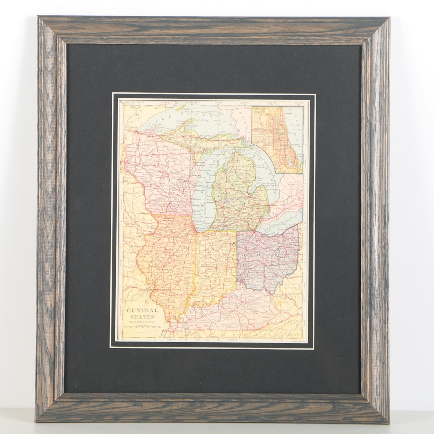
"Central States Eastern Division" Road and Highway Map
Item Details
none
A vintage map on paper titled Central States Eastern Division. This print depicts the major roadways and highways of Ohio, Kentucky, Indiana, Michigan, Wisconsin, and Illinois and features a legend to the lower left corner. Mounted under white and black matting, the print is presented under glass in a stained wood frame. A wire for hanging purposes is present to the verso.
Dimensions
15.25" W x 17.5" H x 0.75" D
- measurement of the frame; visible image measures: 8.5"W x 10.5"H.
Item #
17LEX113-080


