


1 / 9
Image 1 of 9


1 / 9
Image 1 of 9
View all items from Art, Rare Books, Home Furnishings & More sale
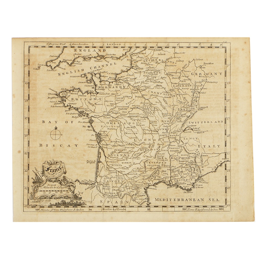
Thomas Jefferys Mid-18th Century Etching Map of France
Item Details
An etching on paper depicting a map of France by famous English cartographer Thomas Jefferys (1719-1771), dated to the mid-18th century. Marked with the cartographer and engraver’s name to the bottom left corner, in plate. Jefferys was a prominent cartographer and the geographer to King George III of England.
Condition
- fair; creases on the paper from previously being folded; foxing; faded ink from previously being pressed between printed pages of text.
Dimensions
10.25" W x 8.0" H x 0.001" D
- measures sheet size; print size 9" W x 7.25" H.
Item #
17ATL039-604


