


1 / 8
Image 1 of 8


1 / 8
Image 1 of 8
View all items from Art, Rare Books, Home Furnishings & More sale
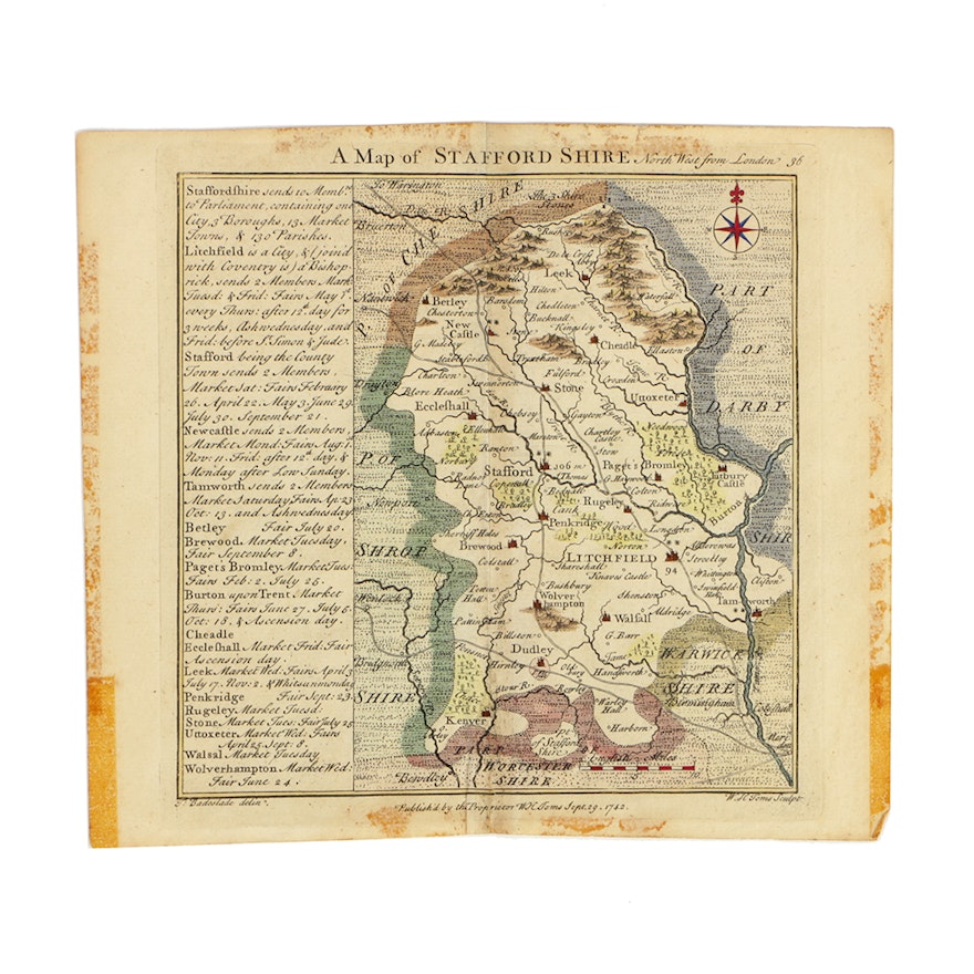
18th Century Hand-Colored Engraved Map of Staffordshire, England
Item Details
An 18th century hand-colored engraved map of Staffordshire, England, drawn by Thomas Badeslade and engraved by William Henry Toms. This map was extracted from the Chorographia Britanniae, published September 29, 1742. Printed on the left is information about various towns and market and fair days. Publishing information and image credits are printed in the lower margin.
Condition
- wear consistent with age; folding creases throughout; stains and discoloration throughout, especially along folding creases and paper edges; adhesive residue along paper edges; visible plate marks around image; center is reinforced to the verso.
Dimensions
7.25" W x 6.5" H x 0.01" D
- measurement of entire paper; plate marks measures approximately 6"W x 6.25"H.
Item #
17ATL039-521


