


1 / 12
Image 1 of 12


1 / 12
Image 1 of 12
View all items from Books, Prints, Maps, Autographs, & Magazines sale
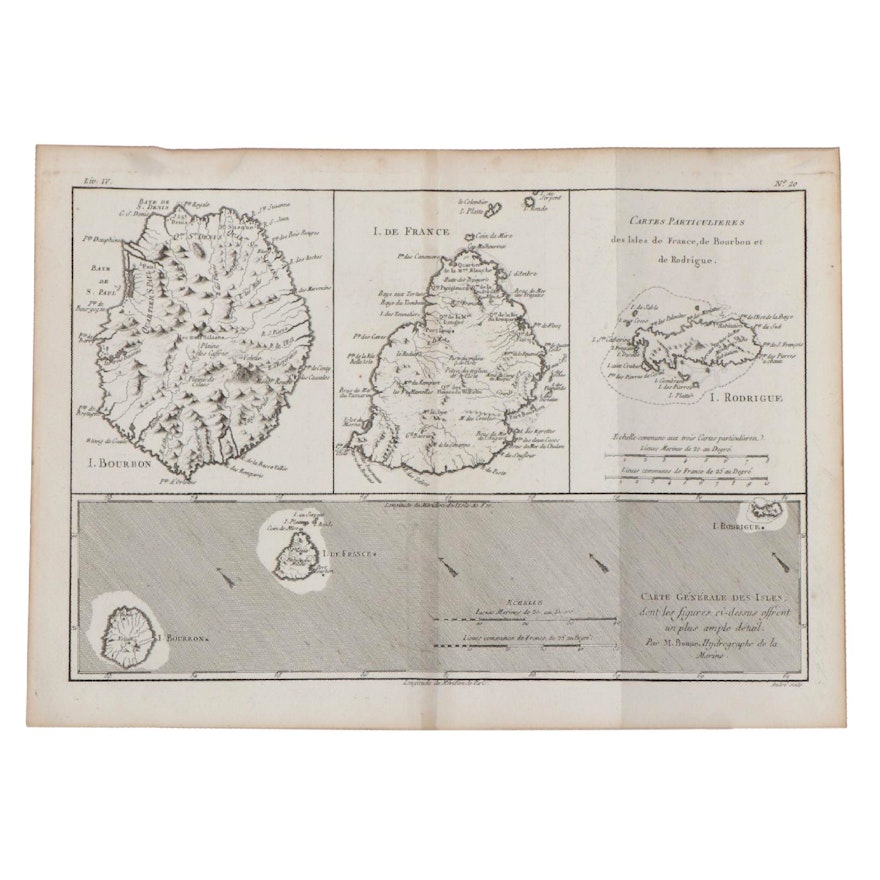
Rigobert Bonne Engraving Map of Mascarene Islands, 1780
Item Details
| Medium on Ground | Engraving on laid paper |
| Geographical Area | Madagascar |
| Region | Mascarene Islands |
| Period | Late 18th Century |
| Date | 1780 |
| Artist (Nationality, Lifespan) | Rigobert Bonne (French, 1727 – 1794) |
| Title | Carte Generale Des Isles |
| Signature | Unsigned |
| Place of Publication | Paris |
| Language | French |
Condition
- curling to the paper; creases and fold marks present; stains and foxing throughout; toning to the paper, notably to the edges.
Dimensions
14.0" W x 10.0" H x 0.1" D
- measures the paper; plate measures 13.5" W x 9" H.
Item #
ITMGC66031


