


1 / 7
Image 1 of 7


1 / 7
Image 1 of 7
View all items from Ephemera, Prints, Magazines, & Books sale
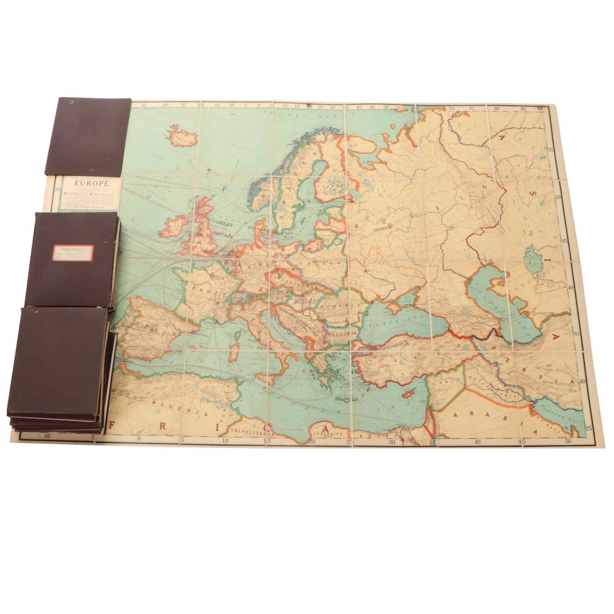
Rand McNally & Co. Fold-Out Map Collection, Early to Mid-20th Century
Item Details
| Medium on Ground | Cloth |
| Geographical Area | Europe, Western Europe, Western Roman Empire, South America, North America |
| Period | Early to Mid 20th Century |
| Portfolio and/or Book | Book |
| Publisher | Rand McNally & Co. |
| Place of Publication | Chicago |
| Language | English |
| Map Type | Political Map |
| Additional Information | Includes 13 folios with fold-out cloth maps. |
Condition
- loose hinges; bumped corners; cocked spines; toning and discoloration; foxing; edge wear; fraying; not all maps individually examined.
Dimensions
9.5" W x 11.75" H x 0.75" D
- measures one book.
Item #
ITMGB30804


